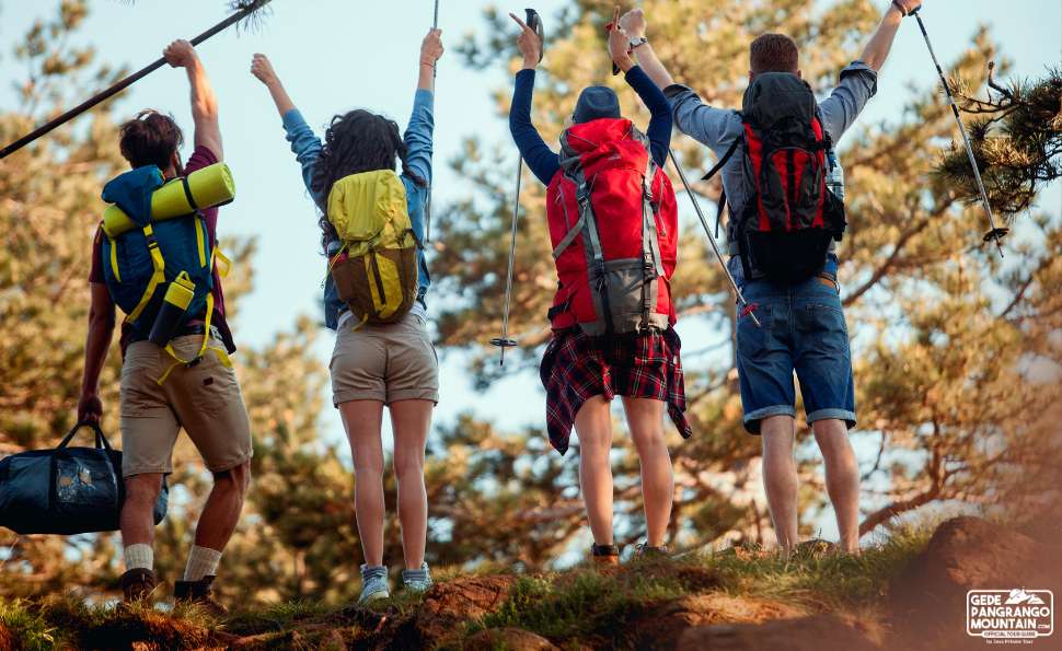
gedepangrangomountain rises quietly above West Java, its forests breathing mist into the valleys below. For many visitors, Mount Gede feels welcoming and gentle, especially along its well maintained trails. Yet any experienced local guide will tell you that weather is the true ruler of this mountain. Understanding how weather forecasts are interpreted for mountain safety is one of the most important skills for anyone planning to walk its volcanic forests.
Weather on Mount Gede can change within hours. A sunny morning at the trailhead can turn into cold rain and thick fog near the crater rim. Forecasts are not just numbers or icons on a phone screen here. They are practical tools used to decide when it is safe to hike, when to slow down, and when to turn back. This article will walk you through how weather forecasts are read and applied on Mount Gede, in a clear and grounded way, just as local guides do.
Why Weather Matters More in Mountain Environments
Mountains create their own weather. As moist air from the lowlands rises along the slopes of Mount Gede Pangrango National Park, it cools and condenses, forming clouds and rain. This process can happen quickly, especially during the wet season.
In lower areas, a short rain shower may be inconvenient. On a mountain trail, rain can mean slippery volcanic rocks, muddy forest paths, and reduced visibility. Strong winds near open ridges can lower body temperature fast, even in the tropics. That is why weather forecasts are treated seriously here, not as casual suggestions.
Key Weather Elements Interpreted for Mountain Safety
Rainfall Intensity and Duration
Local guides pay close attention not only to whether rain is expected, but how much and for how long. Light rain for an hour is very different from steady rain throughout the day.
On Mount Gede, prolonged rain increases the risk of trail erosion, fallen branches, and slippery roots in the forest. Some sections near streams can swell quickly. When forecasts show continuous rain, hikes may be shortened, delayed, or rescheduled entirely.
Wind Speed at Higher Elevations
Wind forecasts often focus on lowland areas, but mountain safety requires looking at conditions above 2,000 meters. Near Alun Alun Suryakencana and the crater area, wind can be significantly stronger.
Strong wind affects balance, increases fatigue, and accelerates heat loss. Even mild temperatures can feel cold when wind is constant. Interpreting wind data helps guides decide appropriate clothing advice and whether exposed areas should be avoided.
Cloud Cover and Visibility
Fog is common on Mount Gede, especially in the afternoon. Forecasts indicating heavy cloud cover or low visibility are taken as warnings, not disappointments.
Reduced visibility increases the chance of losing trail markers, especially for first time hikers. It also affects emergency response time. Guides often plan earlier starts to avoid afternoon fog, based on cloud pattern forecasts.
Temperature Range and Night Conditions
Many hikers are surprised by how cold Mount Gede can be. Night temperatures can drop significantly, particularly in open areas.
Weather forecasts help estimate overnight conditions for campers and summit hikers. This ensures proper gear is prepared and reduces the risk of hypothermia, which can occur even in tropical mountains.
Seasonal Patterns on Mount Gede
Dry Season Interpretation
During the dry season, usually from June to September, forecasts are often more stable. Clear mornings and cooler air make this a popular trekking period.
However, guides still watch for sudden weather shifts caused by regional wind patterns. Even in the dry season, afternoon clouds can build quickly.
Wet Season Interpretation
The wet season, generally from October to May, requires more cautious interpretation. Forecasts showing scattered showers may still mean heavy rain in the upper forest.
During this season, guides rely on combined information from official forecasts, local observation, and recent trail conditions. Safety margins are wider, and flexibility becomes essential.
How Local Knowledge Complements Weather Forecasts
Forecasts provide data, but experience gives context. On Mount Gede, guides observe signs that technology cannot always capture. The smell of rain in the forest, the direction of moving clouds, and the sound of wind in the canopy all offer clues.
For example, a forecast might show moderate rain later in the day. A local guide may recognize that clouds are already forming earlier than usual, prompting an adjusted schedule. This combination of science and experience is what keeps mountain travel safe. Interpreting weather forecasts is not about pushing through tough conditions. It is about knowing when not to go further.
Turning back due to weather is a sign of respect for the mountain, not weakness. Mount Gede has stood for thousands of years. It will still be there another day. Responsible trekking means prioritizing safety, minimizing environmental damage, and ensuring that rescue resources are never unnecessarily strained.
Modern mountain safety planning uses multiple sources. These include national meteorological services, satellite imagery, and real time rain data. However, none of these replace on site assessment.
Phone signals can be weak on parts of the trail. Batteries drain faster in cold and wet conditions. That is why forecasts are reviewed before the hike begins, not relied on mid trail.
Understanding weather in a volcanic forest environment requires focus and experience. Java Private Tour is not a generalist, but a specialist, concentrating deeply on specific landscapes like Mount Gede Pangrango and interpreting conditions with precision rather than assumption.
This level of specialization ensures that weather information is applied thoughtfully, always with safety and environmental care in mind.
Weather affects not only hikers but also the ecosystem. Trails walked during heavy rain suffer more erosion. Plants near paths are more easily damaged when soil is soft.
By respecting weather forecasts and choosing appropriate hiking times, visitors help preserve Mount Gede for future generations. Safety and conservation go hand in hand on this mountain.
Final Thoughts on Weather and Mountain Safety
Weather forecasts are quiet guardians of every successful Mount Gede trek. When interpreted correctly, they guide decisions, protect lives, and deepen respect for nature.
Walking through misty forests, listening to rain on broad leaves, and feeling cool volcanic air can be magical experiences when approached with awareness. Understanding weather is part of understanding the mountain itself.
So, if you’re ready to explore the wonders of volcanic forests on Mount Gede, head over to our REQUEST PAGE and let’s start planning your adventure. Or you can simply CLICK THIS LINK to chat with us on WhatsApp. With Java Private Tour, you’re not just getting a guide; you’re gaining a friend who will ensure your trip is nothing short of extraordinary. See you in Java!